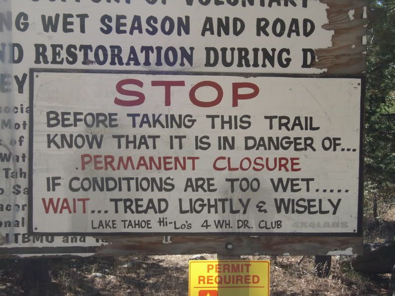
Probably the most epic trip I'll ever do, because I won't have the guts to repeat it and there's really no need. I don't think IFS GMT360s are capable of doing the entire iconic Rubicon without a LOT of spotting and bridging ladder help. But my obsession for years was to do the eastern third of it, after labor day (so there would be fewer gawkers to see us if we broke), in and out the same day. Had to do it late in the season, after some snowfall and when the Lake Tahoe area was already below freezing at night. (Mid october).
Here's the report from 2008:
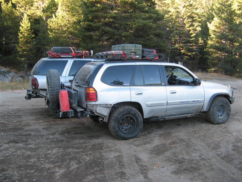
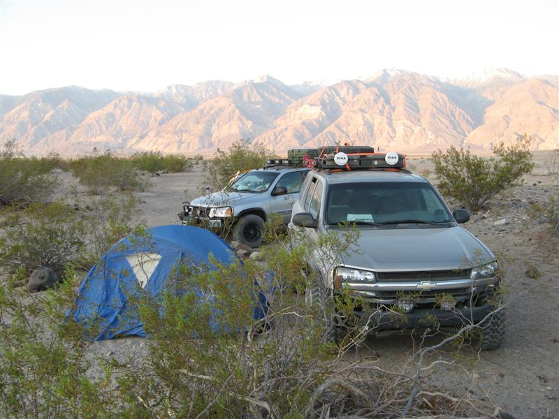
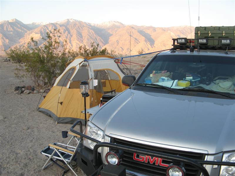
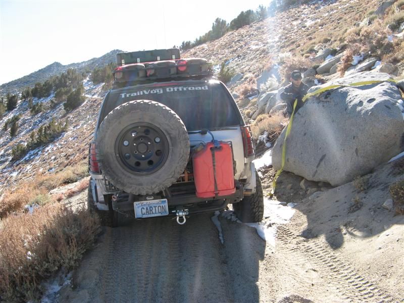
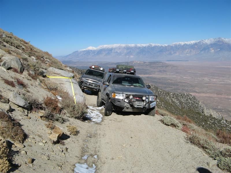
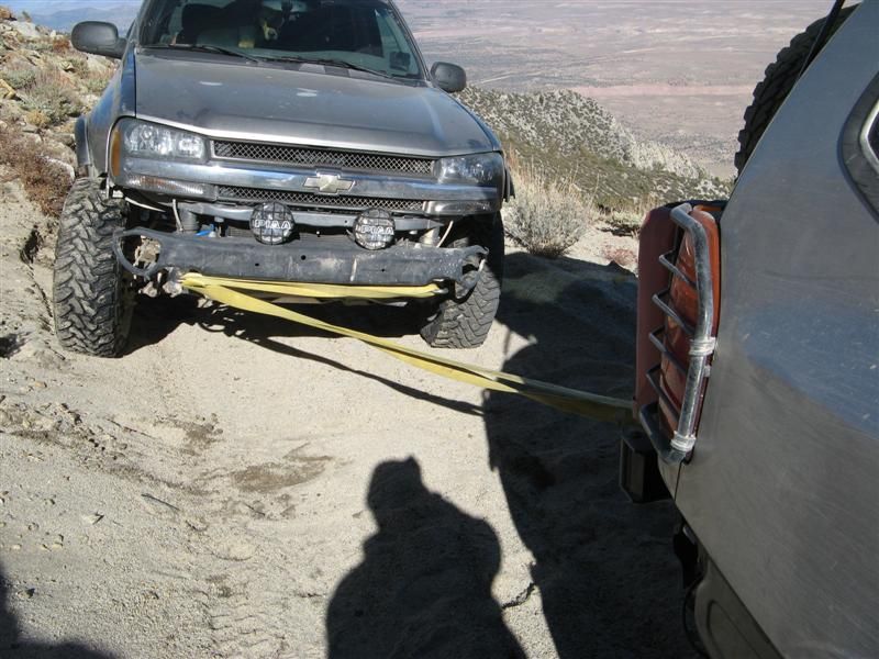
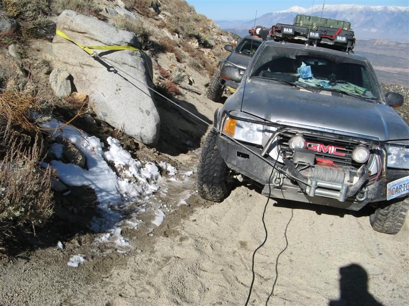
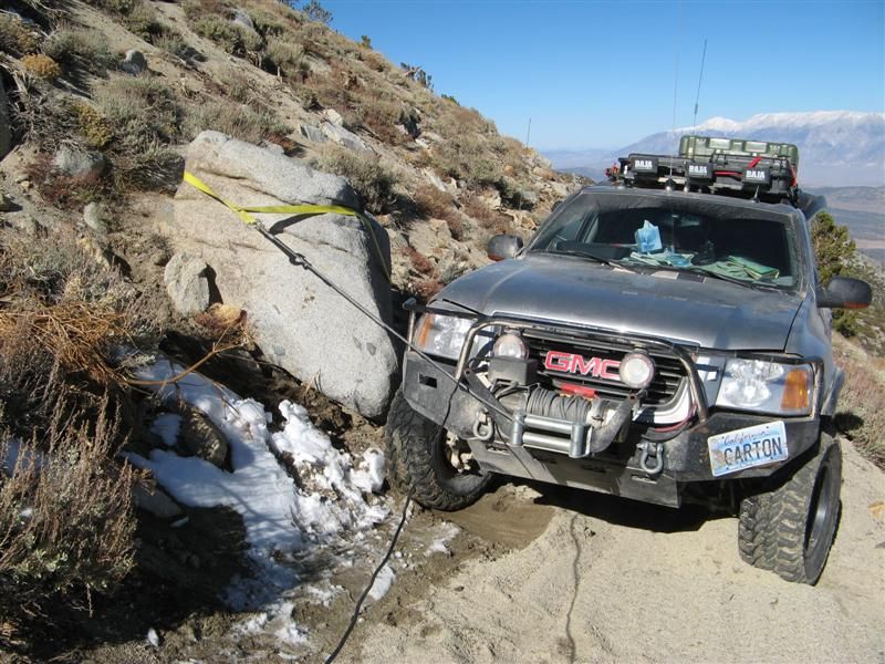
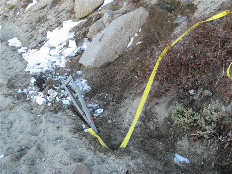
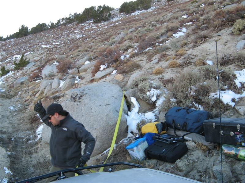
and my tablet's keyboard died, so I'm tapping this out by stylus. So not many words tonight but I'll get you a few pics. Not a lot of daylight for wheeling, and some snow came above 9000 feet, and the coldest night in tents was about 24 degrees. Almost lost the Envoy down a 4000 foot dropoff when an unstable sandy shelf road started to collapse and we had to winch and strap it sideways until the anchor boulder started to move! Three hours later, with Teebes doing almost all the heavy work at 11,000 feet, I was safe. I owe him big time. Thanks, buddy!!
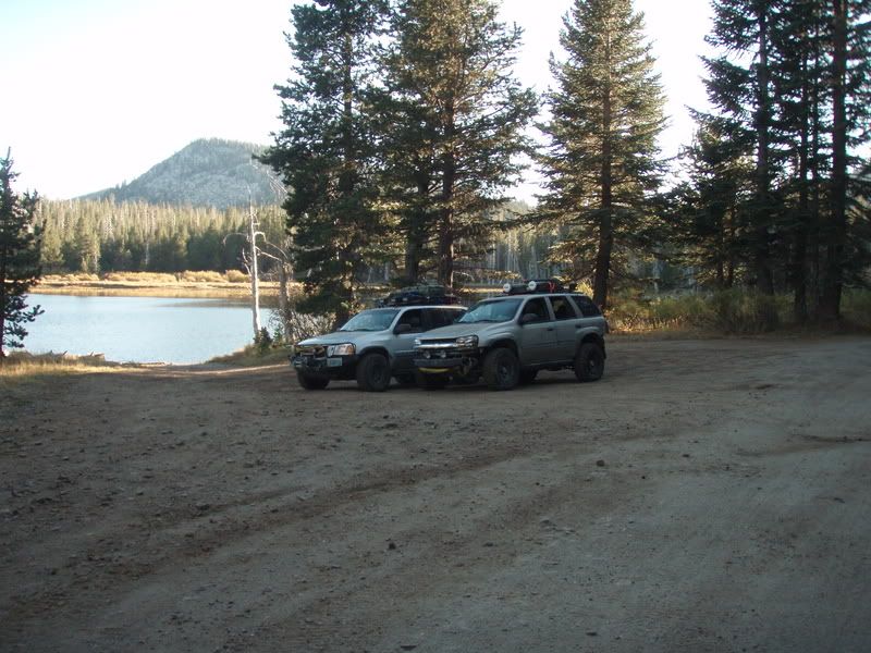
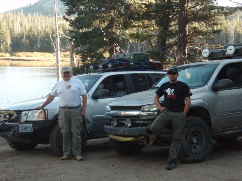
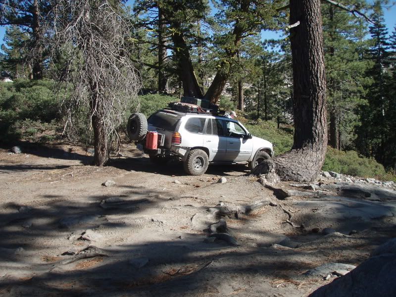
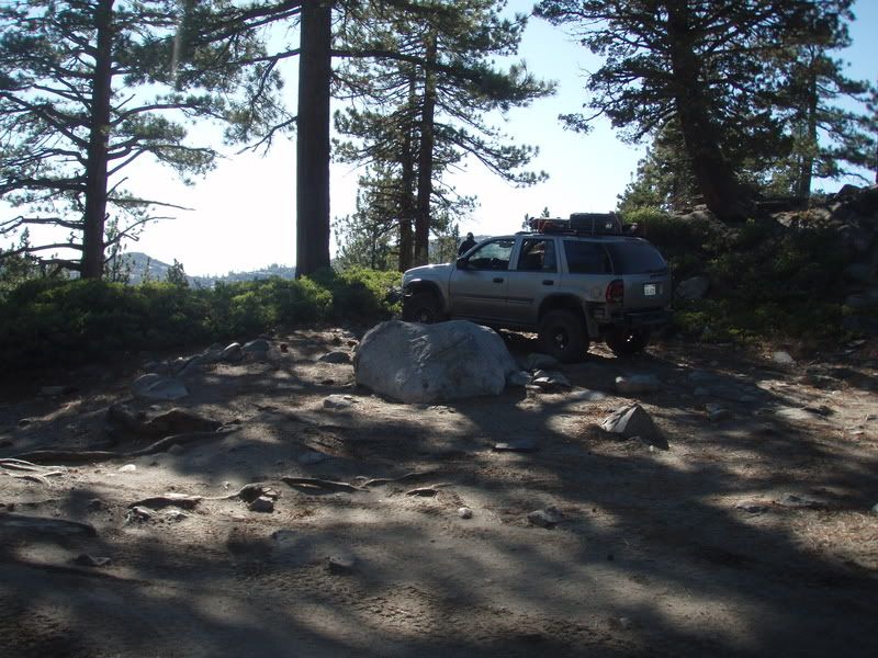
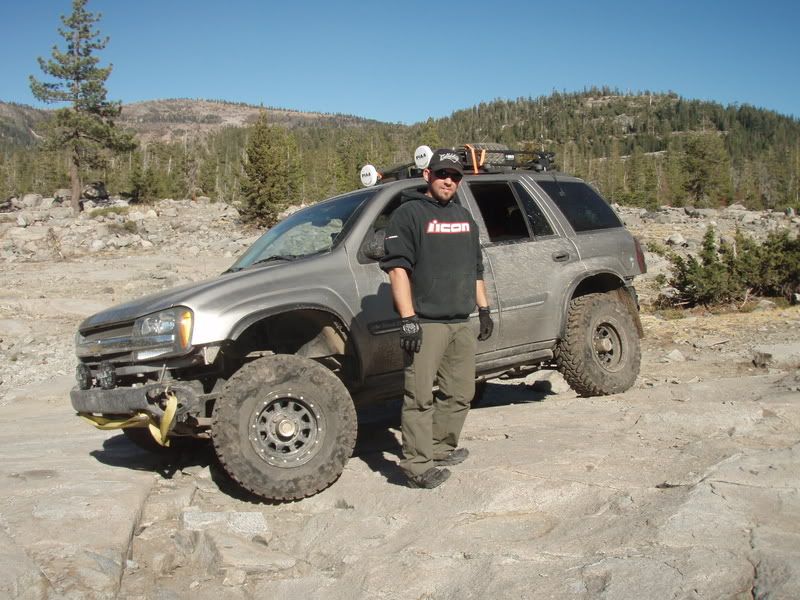
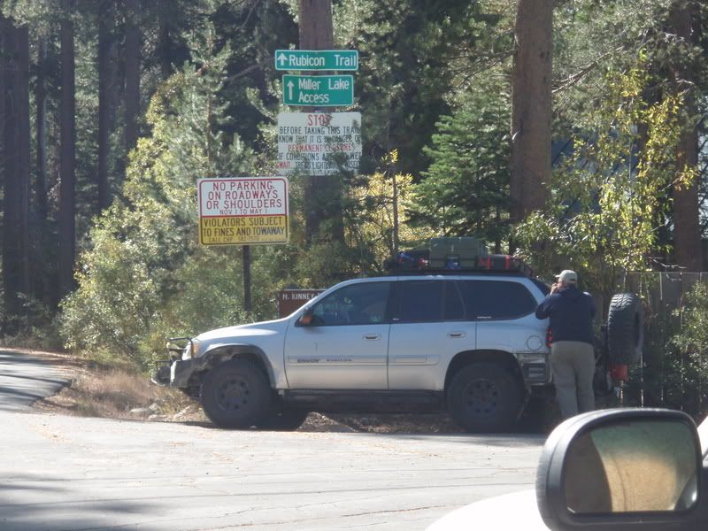
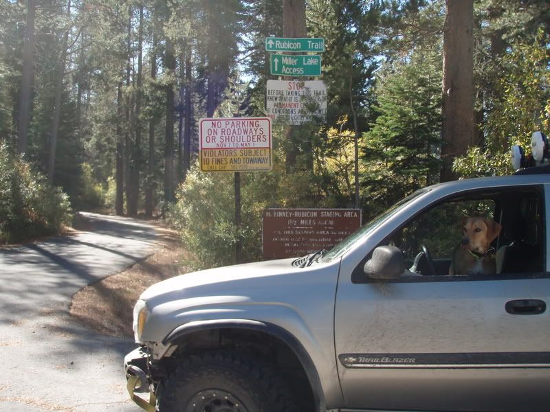
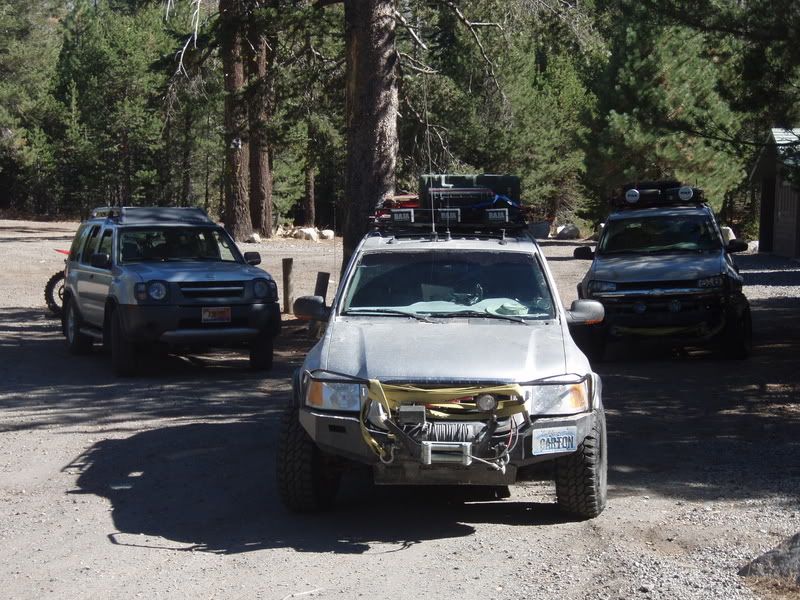
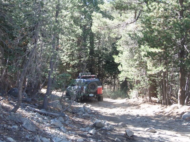
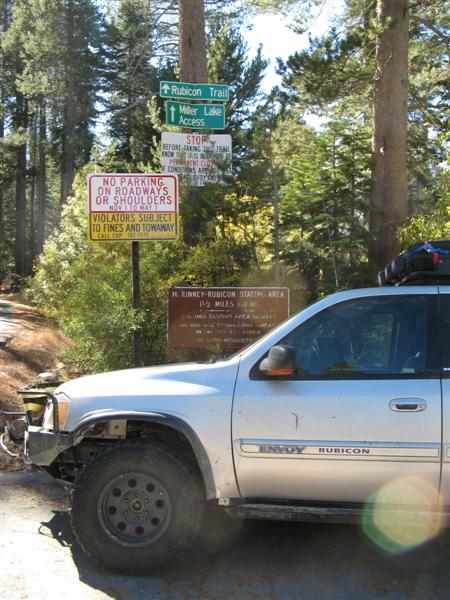
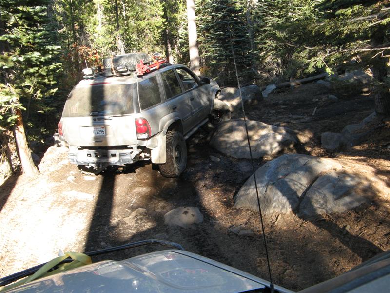
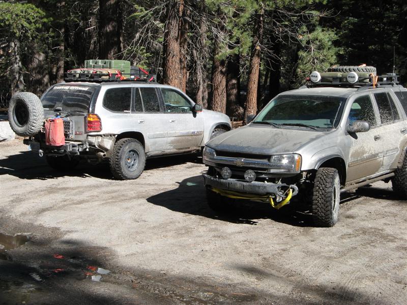
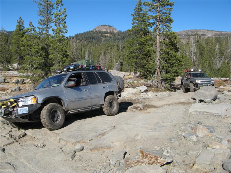
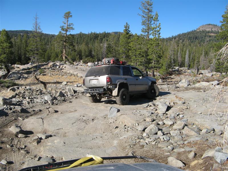
But the big news today is Trailvoys have been REPRESENTED ON THE RUBICON!!!


We got home last night around 10. Meant to drive home in the daylight on Saturday, but at the end of the last trail we wanted to do on Friday, we both thought of the work involved in setting up camp YET AGAIN and breaking it down in the morning, and we figured it was easier to just take 5 hours and drive straight home.
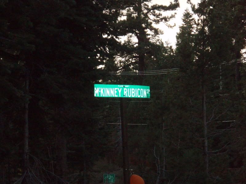
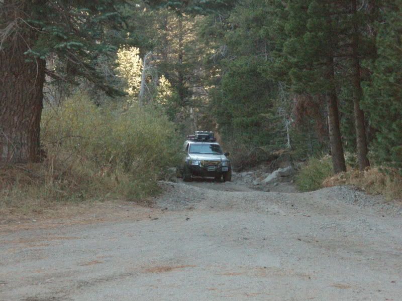
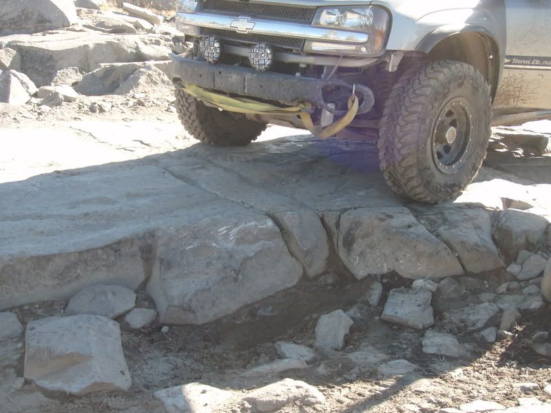
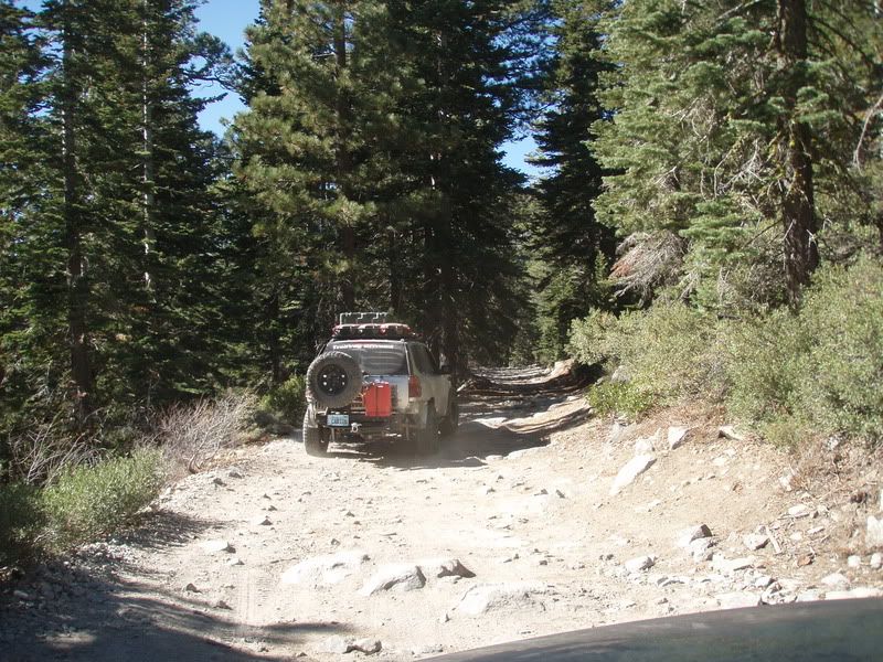
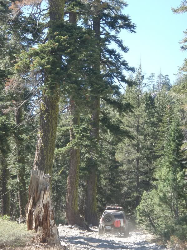
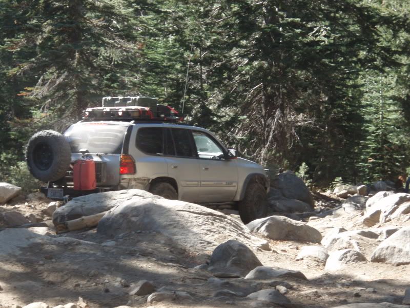
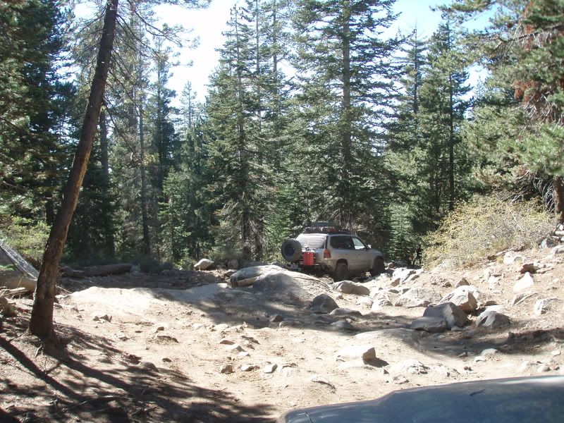
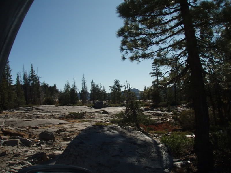
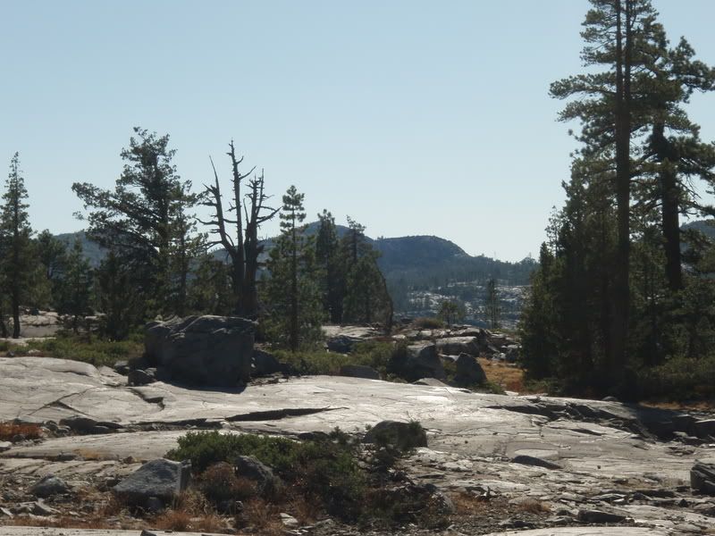
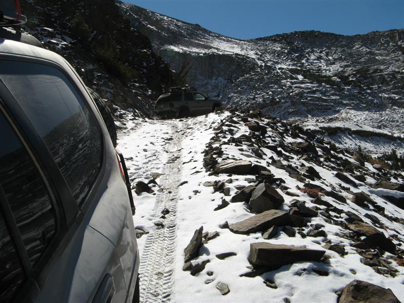
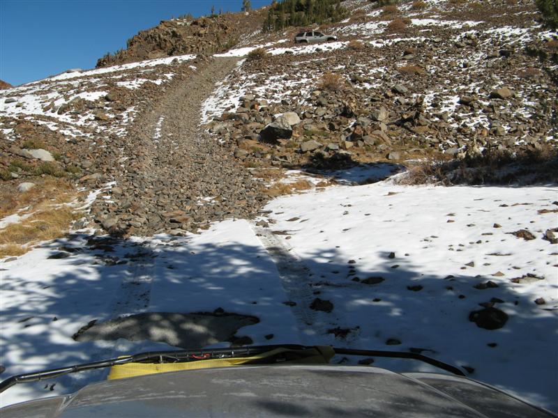
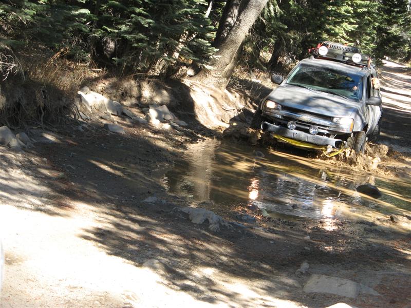
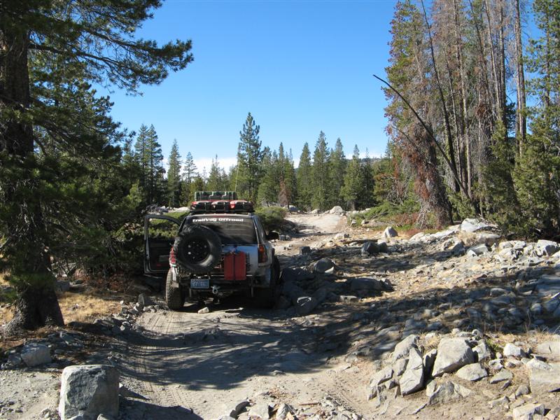
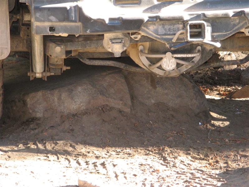
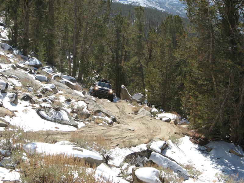
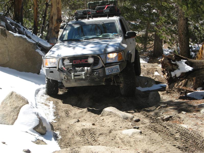
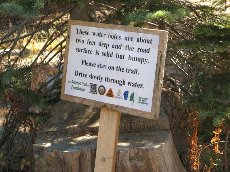
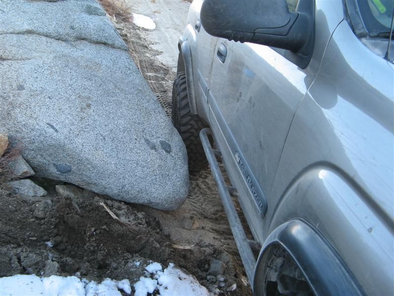
In the spirit of full disclosure, we did NOT do the entire Rubicon. Without a solid axle swap and 4.56 gears and 34-35" tires, that would not be a rational or sane goal for a trailvoy. We went in "backwards" from the traditional way of running it, from the Lake Tahoe side, and did the eastern third of the trail, about 8 miles worth, past Observation Point to partway down Cadillac Hill, for anybody who really knows the Rubicon. Even this section, considered by the hard core rock crawlers to be the "easy" part, tested us to the equipment limits, and both of us got stuck on one obstacle and had to use recovery equipment. More details later.
Hundreds of pics and hours of video to go through. Here's a few more to keep the hounds at bay for a while:
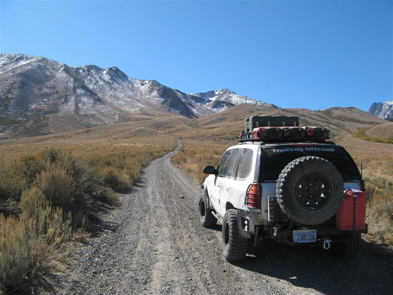
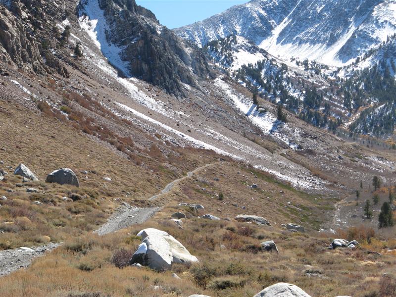
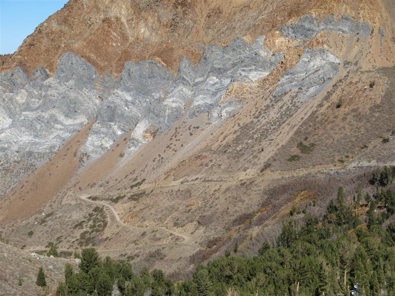
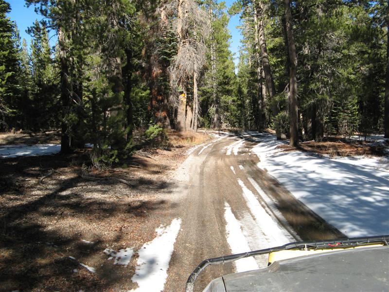
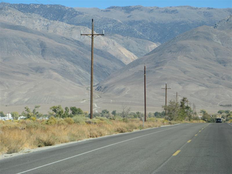
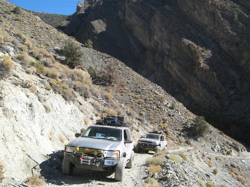
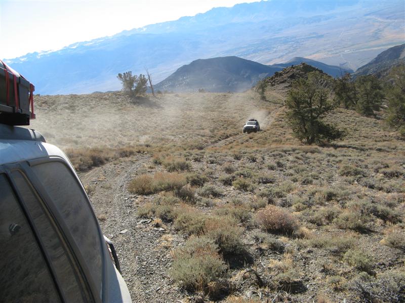
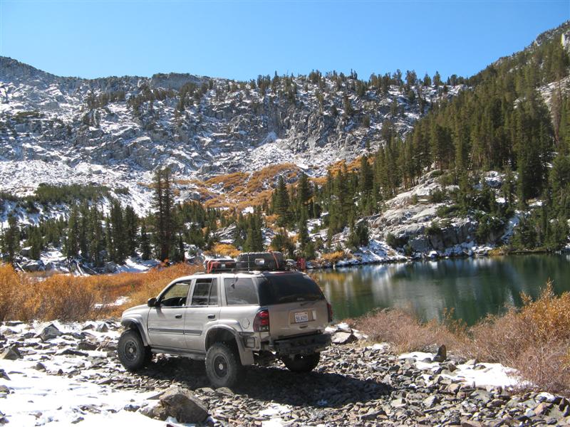
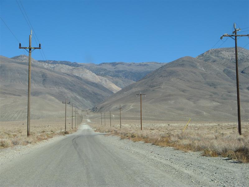
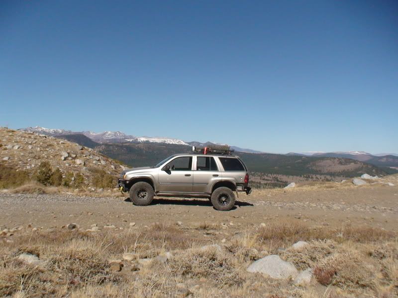
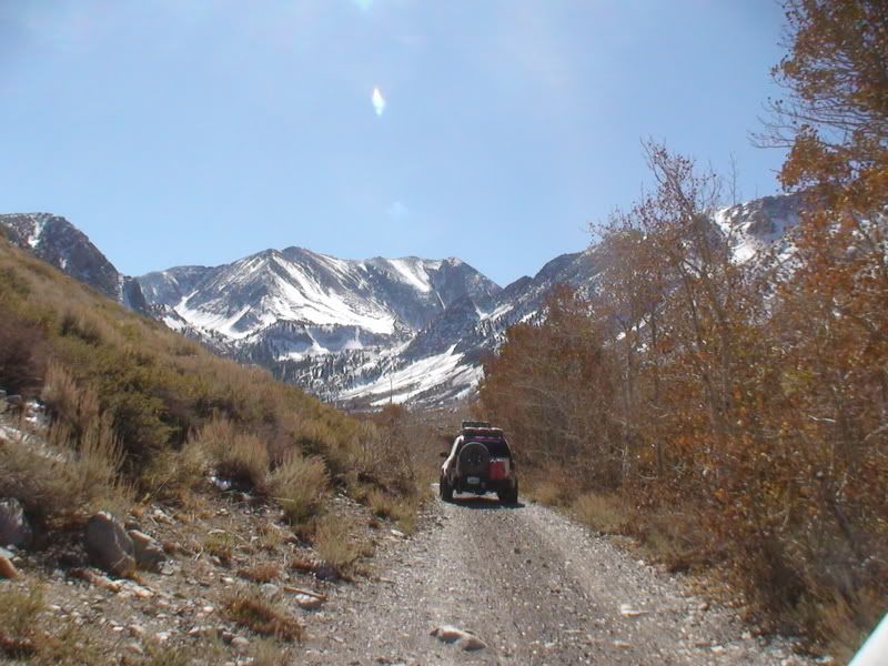
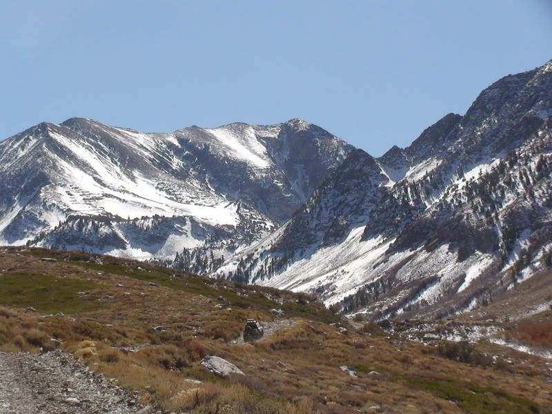
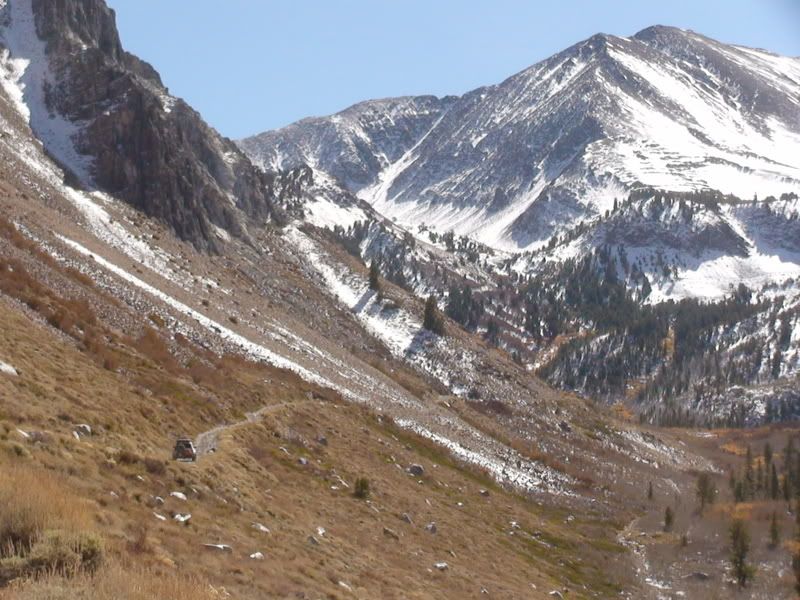
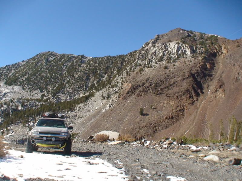
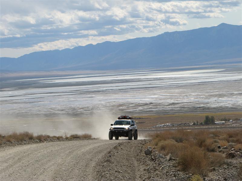
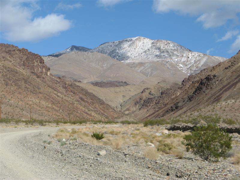
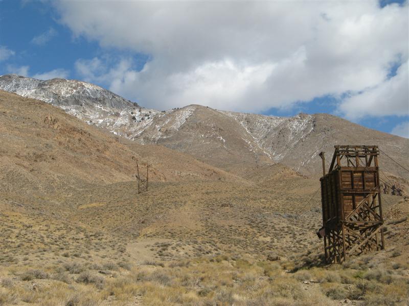
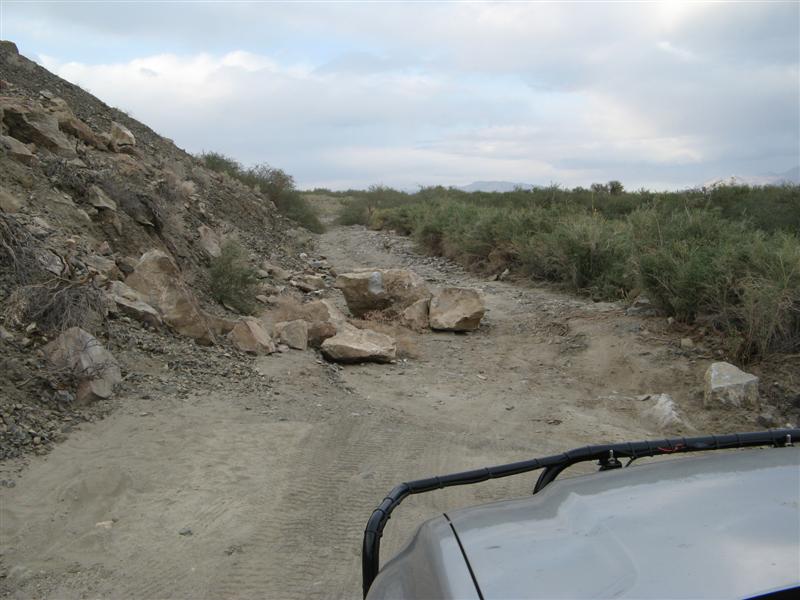
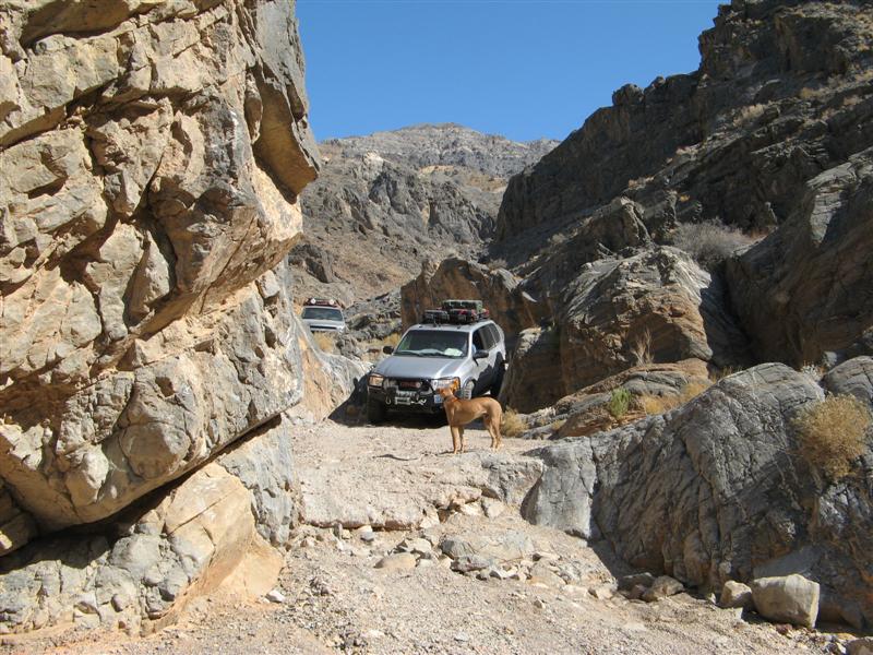
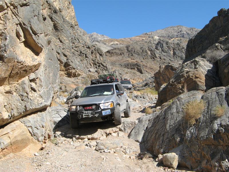
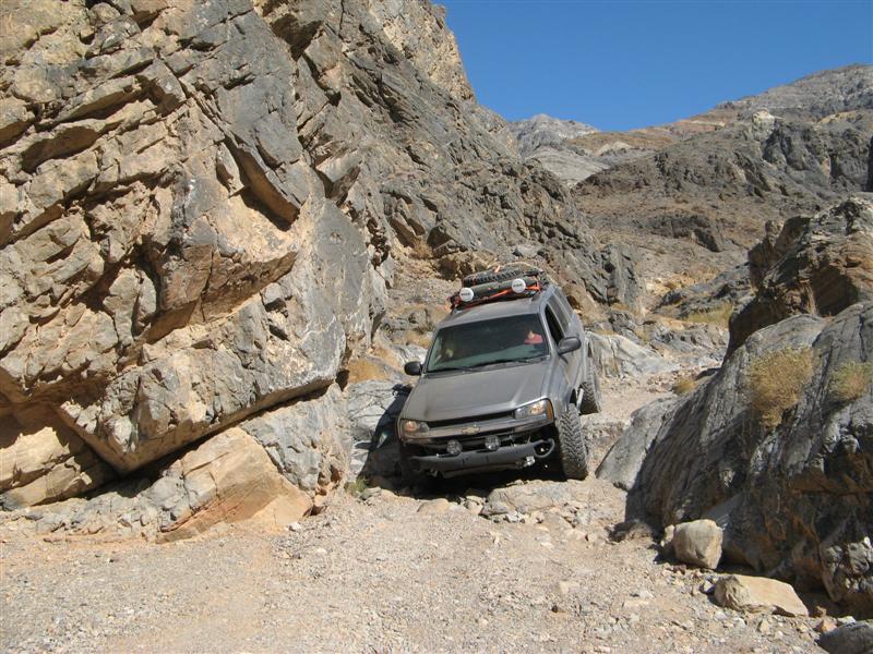
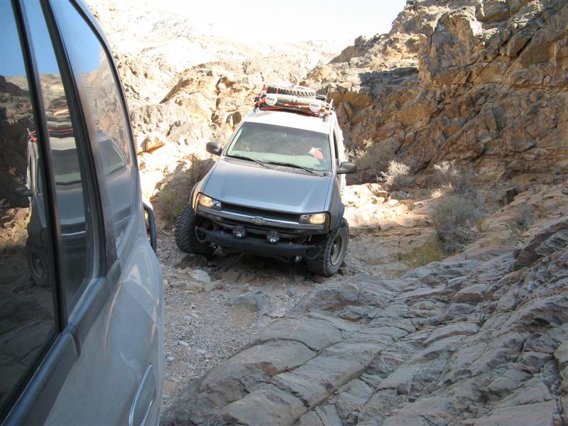
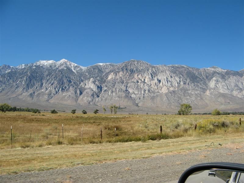
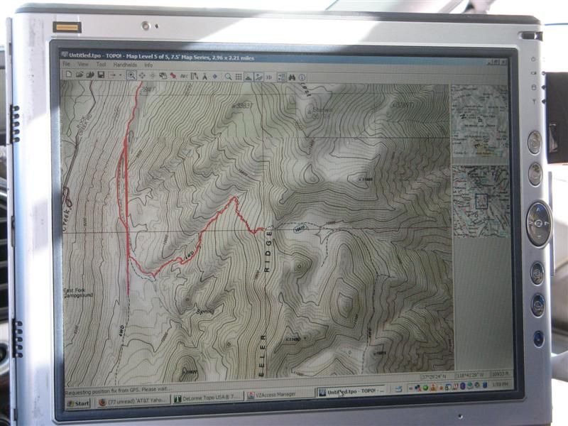
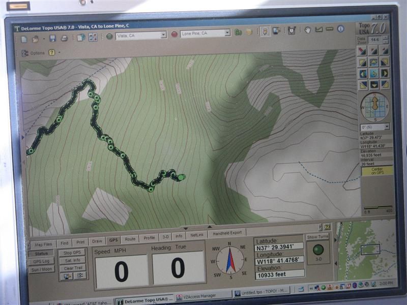
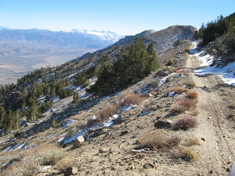
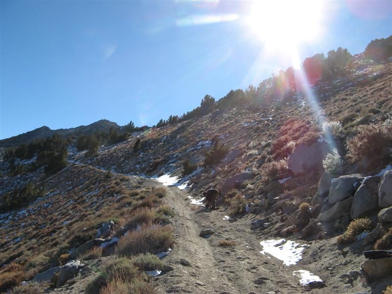
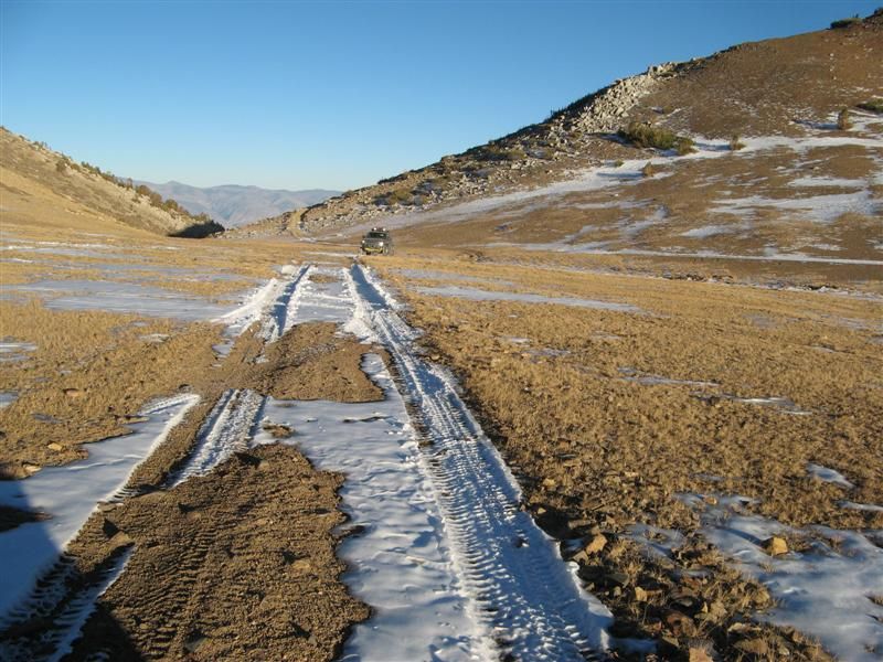
Climbing Silver Canyon from 4000-10,400 feet.
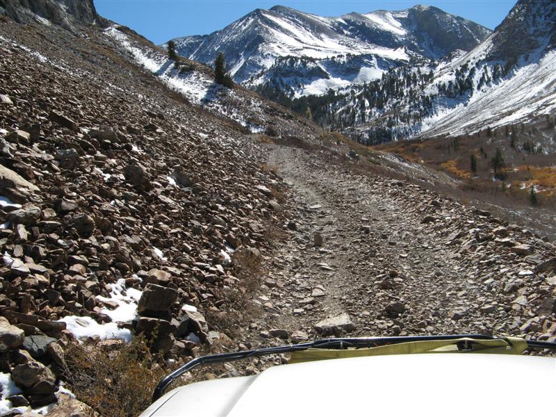
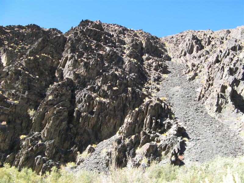
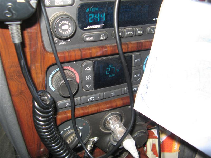
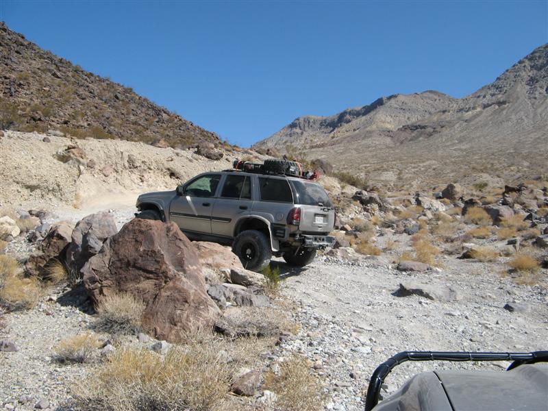
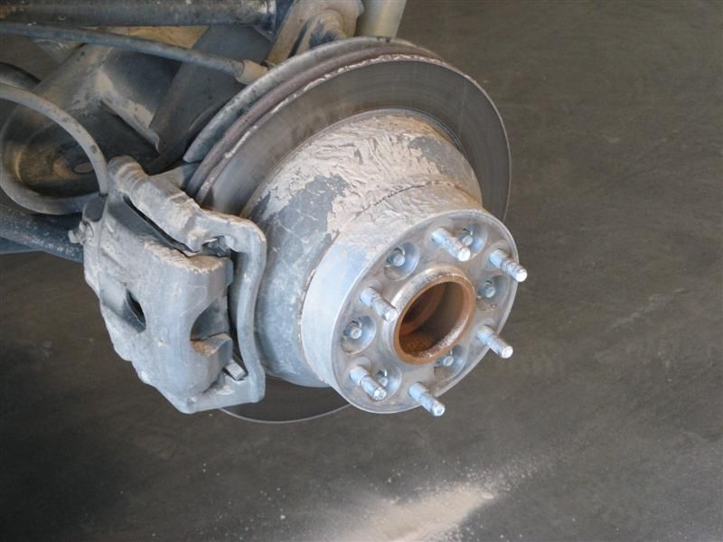
Emergency brakes - do your stuff.

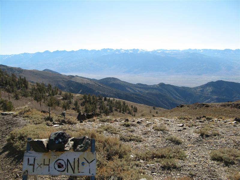
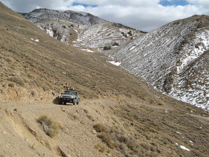
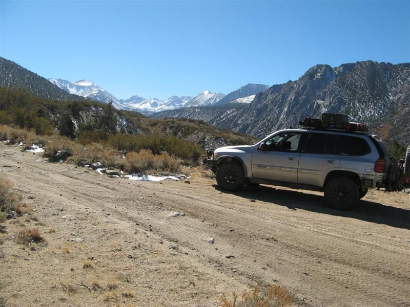
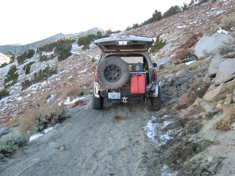
4X4 indeed.
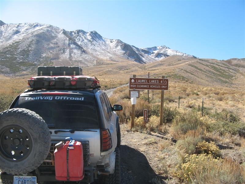
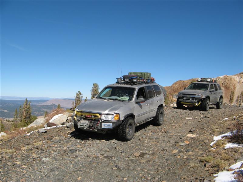
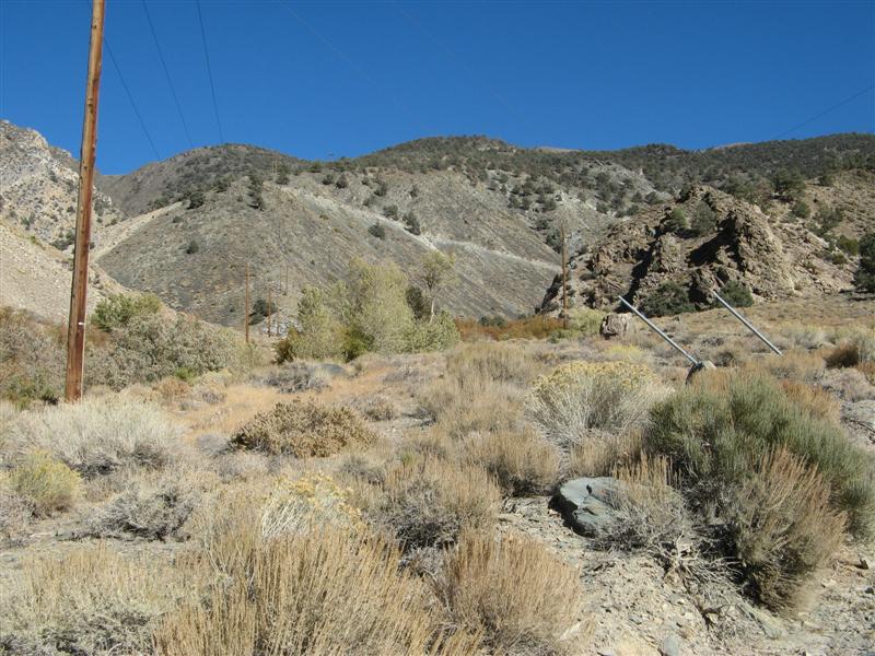
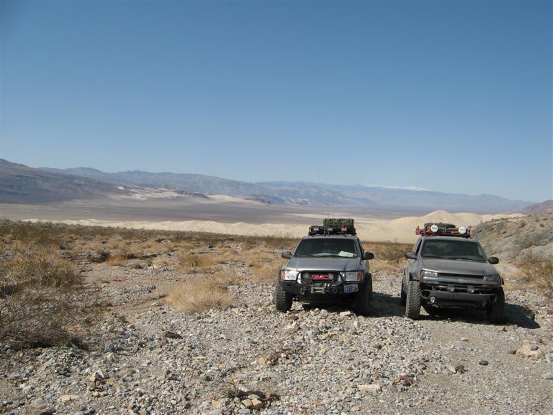
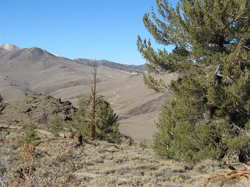
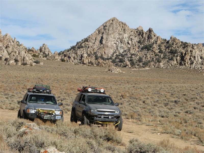
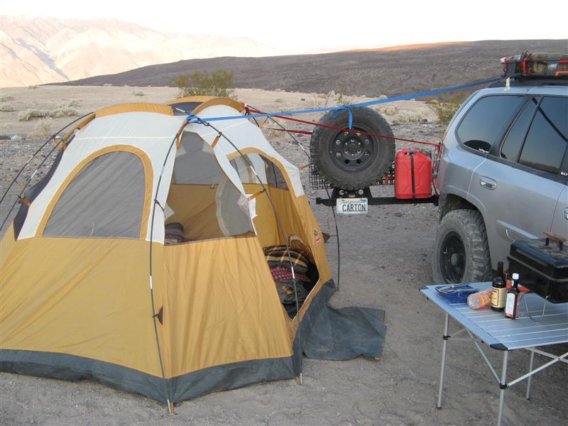
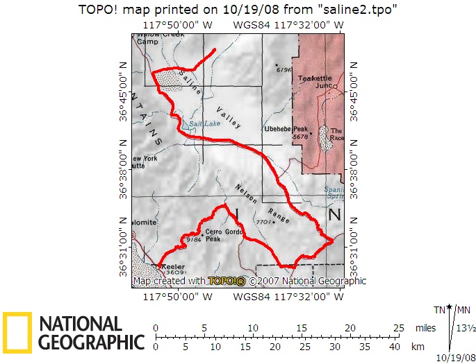
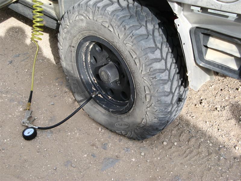
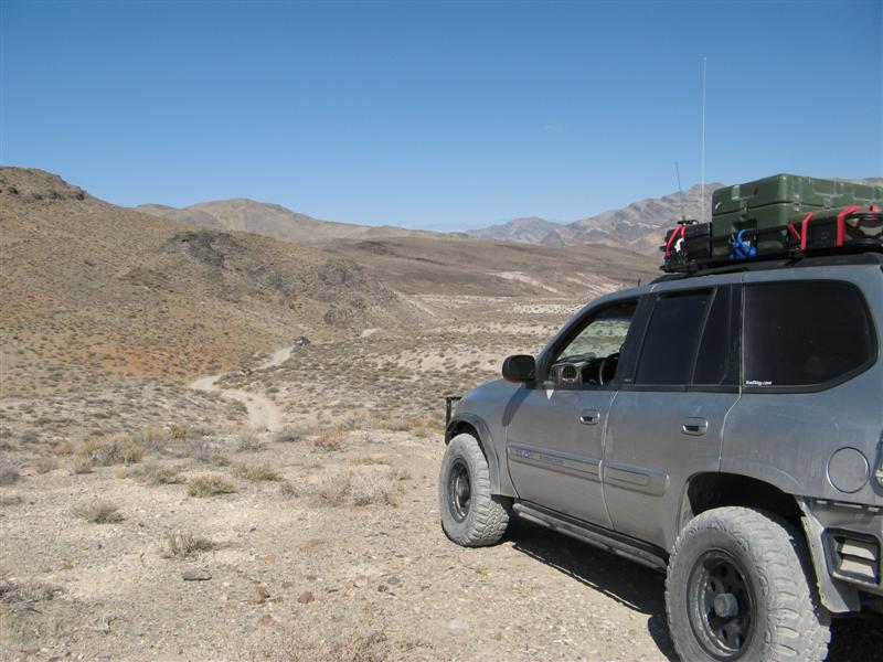
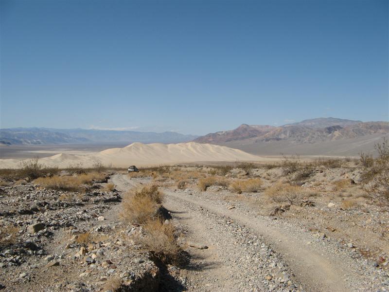
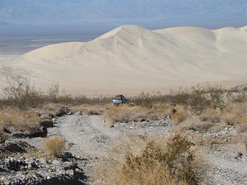
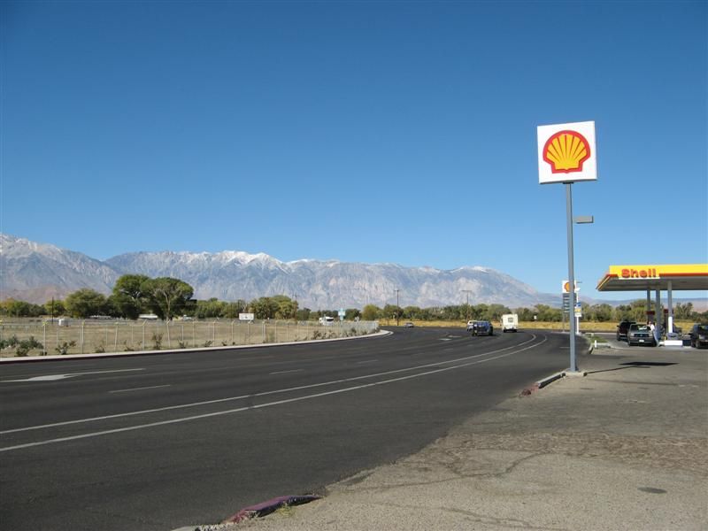
25 miles from pavement.
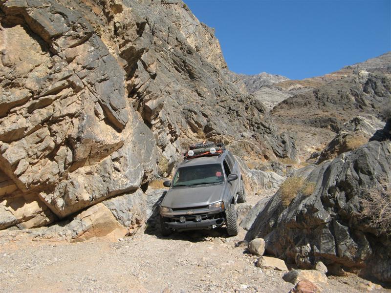
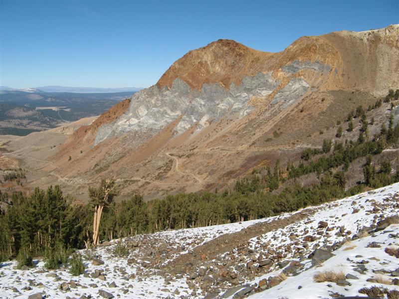
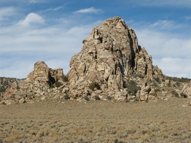
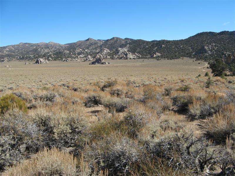
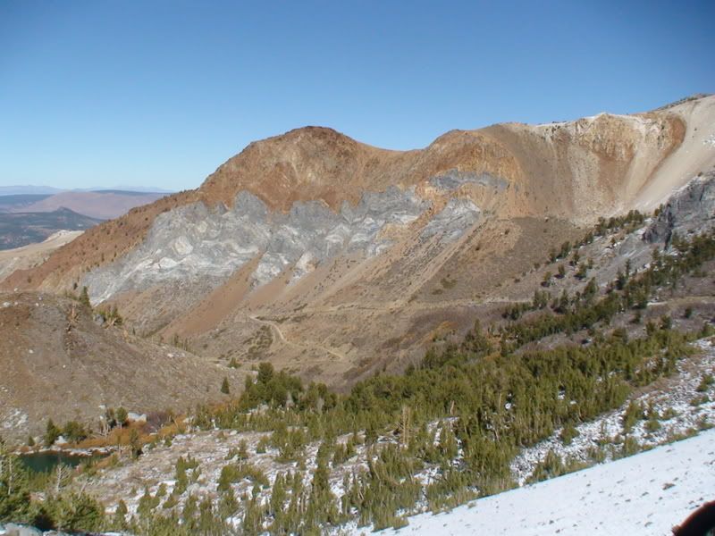
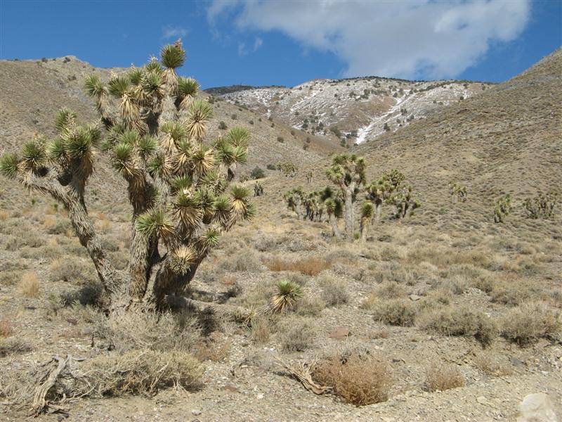
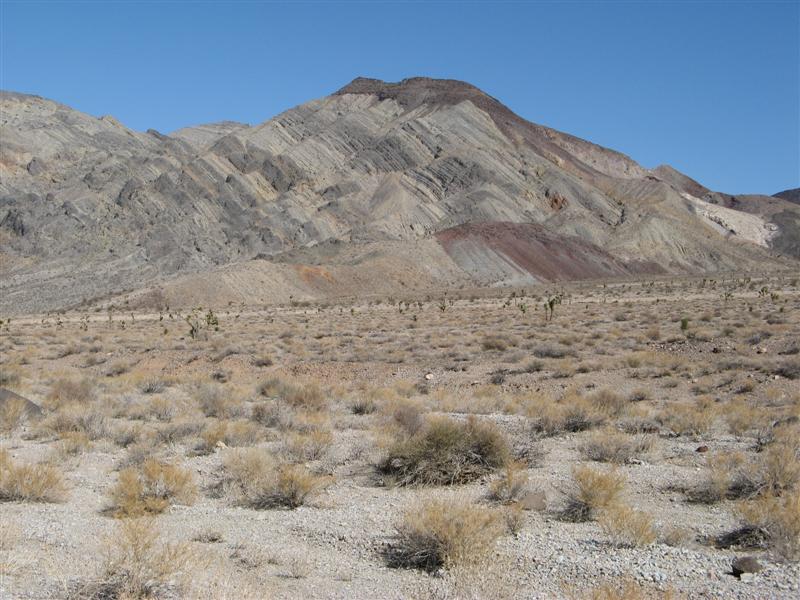
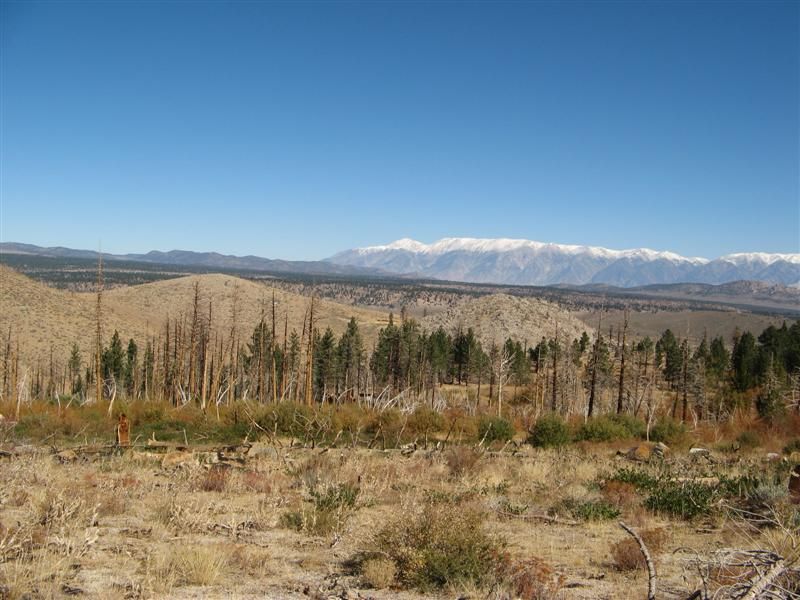
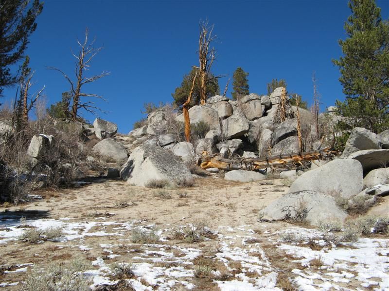
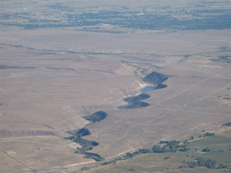
Rock formations in Papoose Flat.
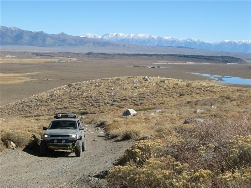
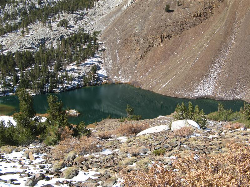
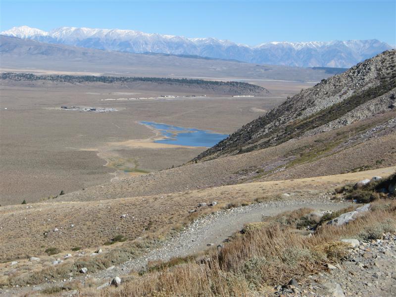
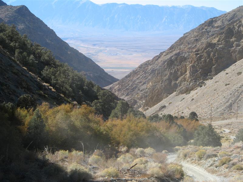
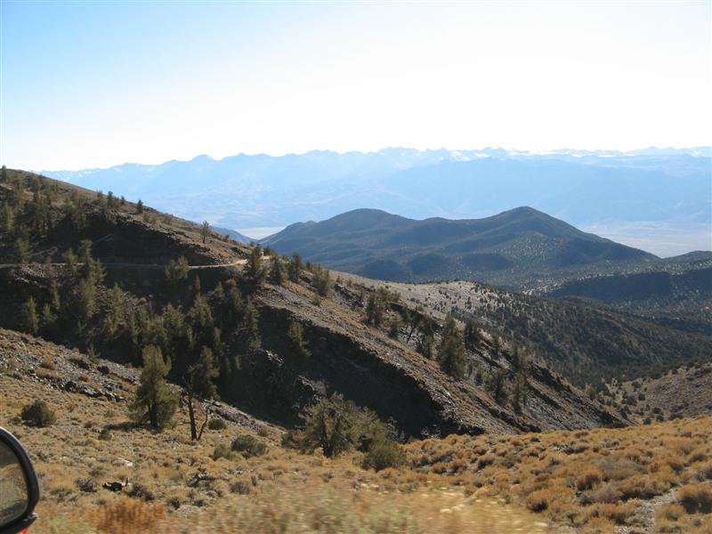
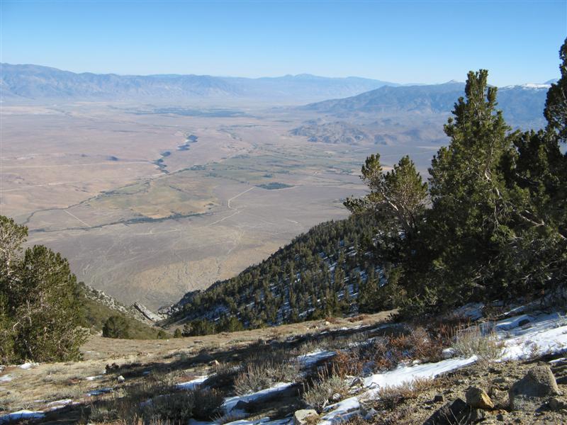
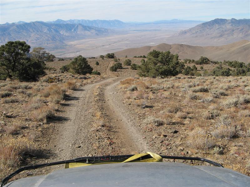
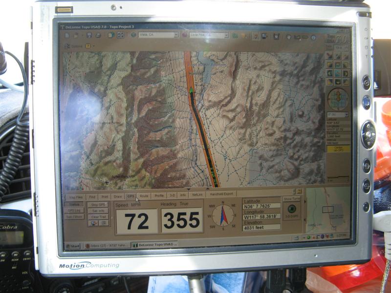
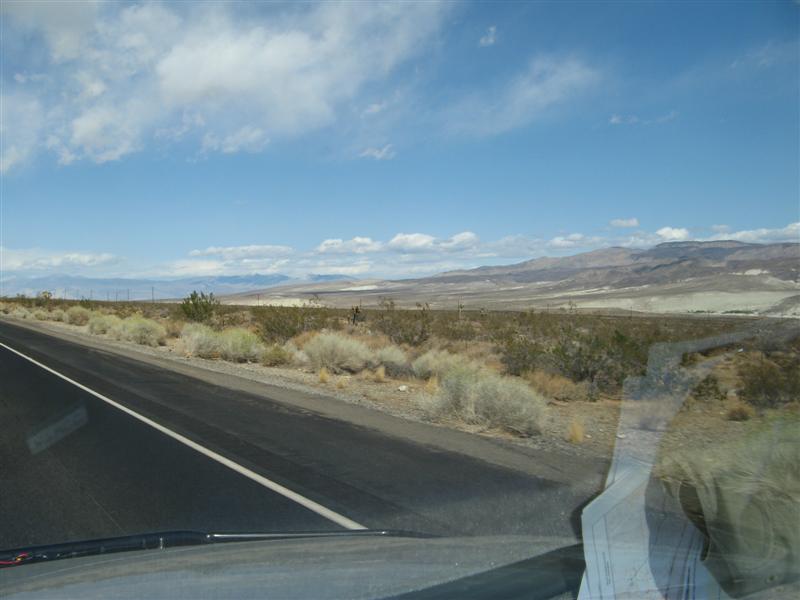
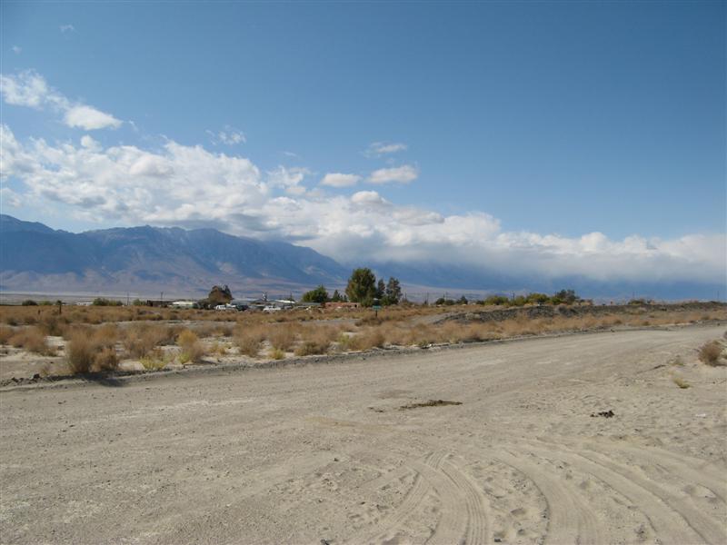
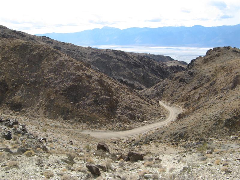
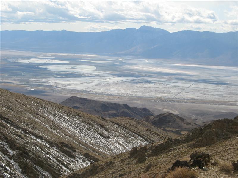
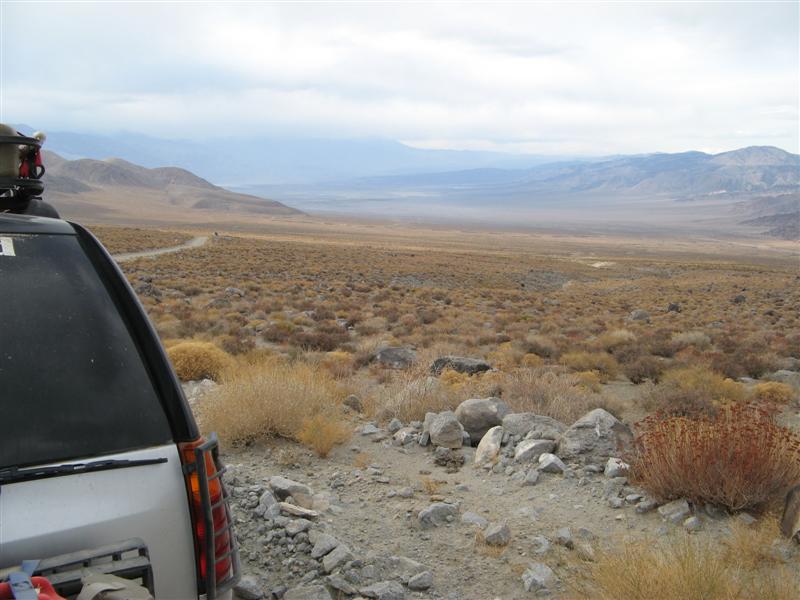
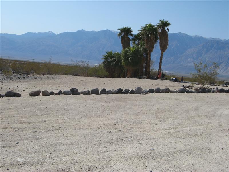
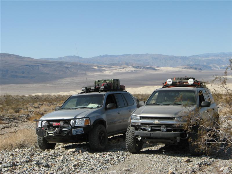
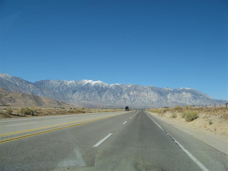
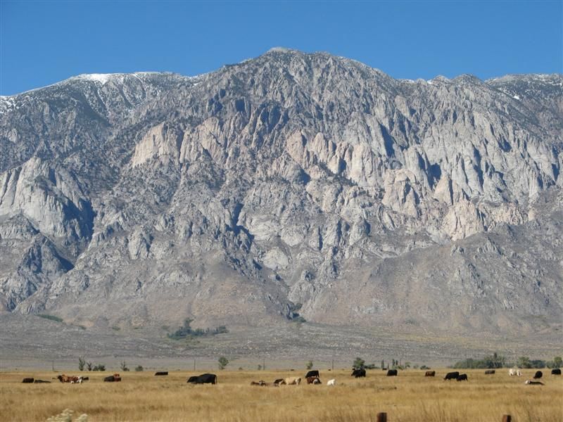
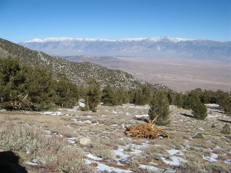
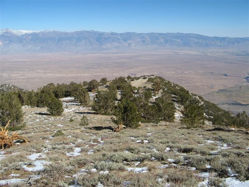
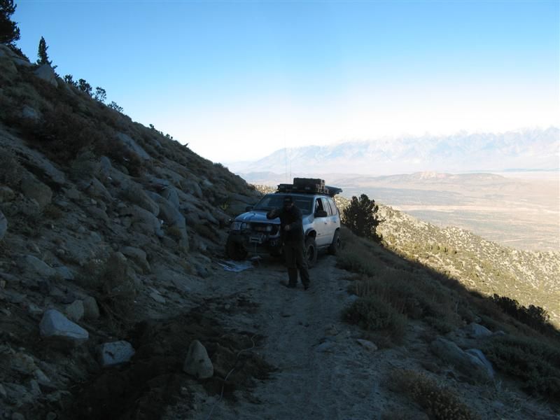
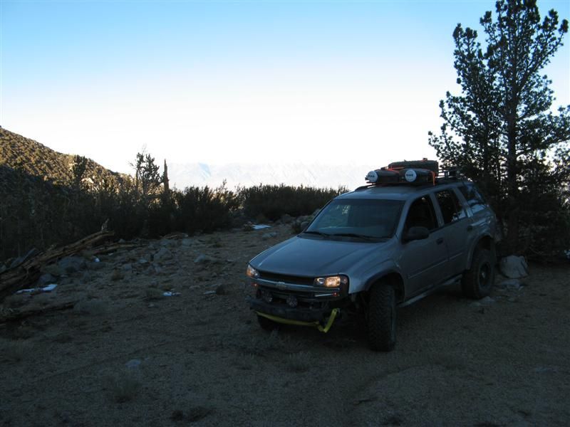
75+ mile visibility. Looking down on Owens Valley 5000 feet below us.
Here's the report from 2008:
and my tablet's keyboard died, so I'm tapping this out by stylus. So not many words tonight but I'll get you a few pics. Not a lot of daylight for wheeling, and some snow came above 9000 feet, and the coldest night in tents was about 24 degrees. Almost lost the Envoy down a 4000 foot dropoff when an unstable sandy shelf road started to collapse and we had to winch and strap it sideways until the anchor boulder started to move! Three hours later, with Teebes doing almost all the heavy work at 11,000 feet, I was safe. I owe him big time. Thanks, buddy!!
But the big news today is Trailvoys have been REPRESENTED ON THE RUBICON!!!
We got home last night around 10. Meant to drive home in the daylight on Saturday, but at the end of the last trail we wanted to do on Friday, we both thought of the work involved in setting up camp YET AGAIN and breaking it down in the morning, and we figured it was easier to just take 5 hours and drive straight home.
In the spirit of full disclosure, we did NOT do the entire Rubicon. Without a solid axle swap and 4.56 gears and 34-35" tires, that would not be a rational or sane goal for a trailvoy. We went in "backwards" from the traditional way of running it, from the Lake Tahoe side, and did the eastern third of the trail, about 8 miles worth, past Observation Point to partway down Cadillac Hill, for anybody who really knows the Rubicon. Even this section, considered by the hard core rock crawlers to be the "easy" part, tested us to the equipment limits, and both of us got stuck on one obstacle and had to use recovery equipment. More details later.
Hundreds of pics and hours of video to go through. Here's a few more to keep the hounds at bay for a while:
Climbing Silver Canyon from 4000-10,400 feet.
Emergency brakes - do your stuff.
4X4 indeed.
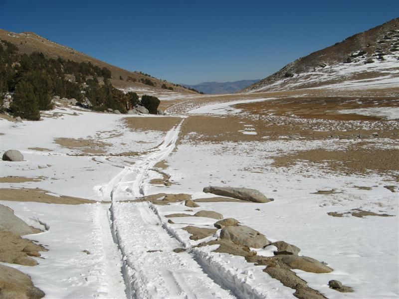
25 miles from pavement.
Rock formations in Papoose Flat.
75+ mile visibility. Looking down on Owens Valley 5000 feet below us.
 :hissy:
  at 30 degrees but thank goodness for the new prescriptions like Flomax.


 You certainly lose all ability to expedite the process. :o
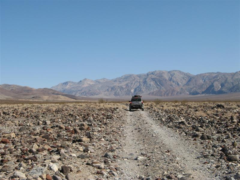
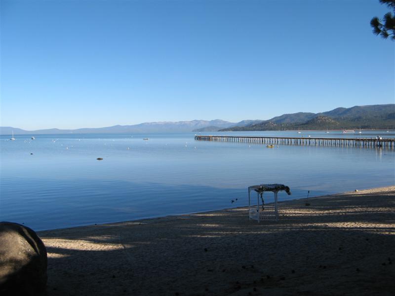
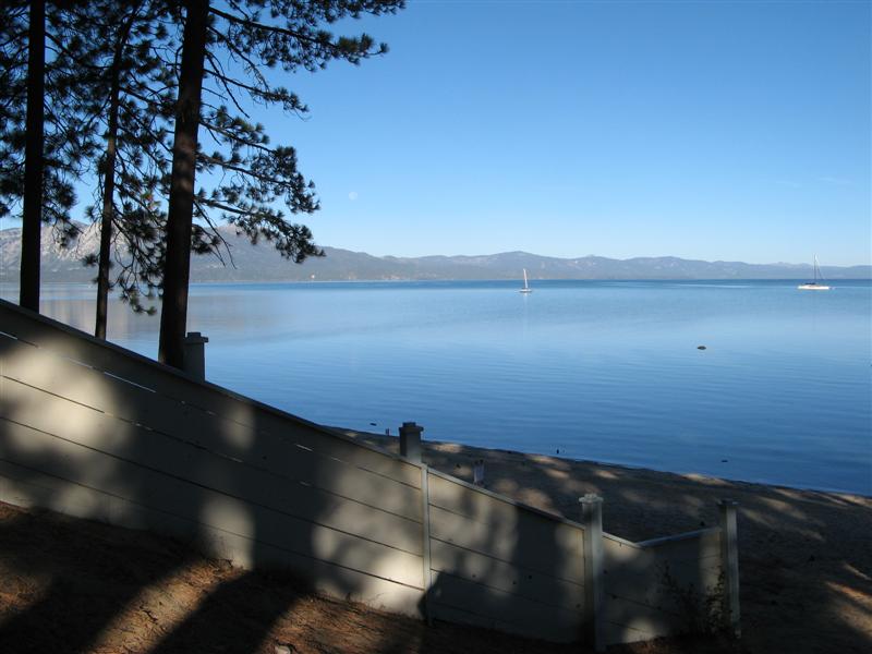
 Until then, here are some more pics, this time, of the